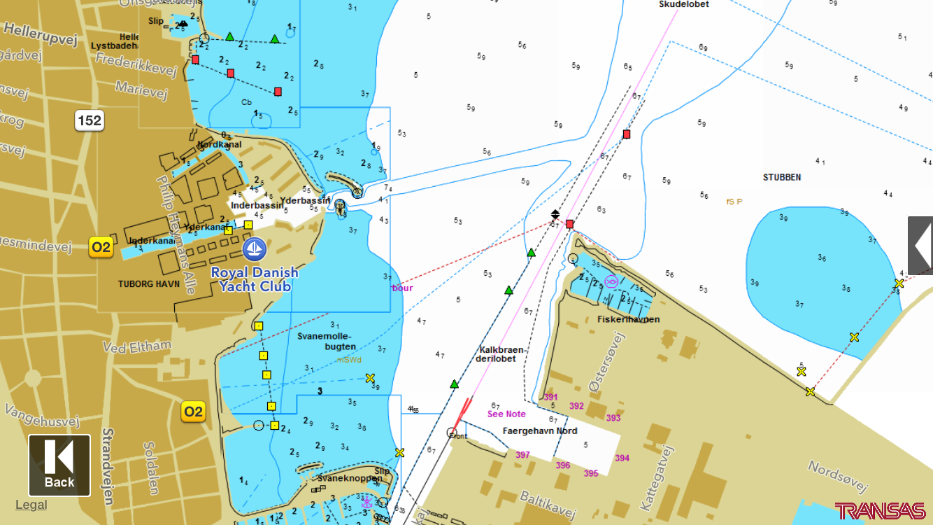
Transas on-line sea charts in iRegatta
Starting from next release of iRegatta, the iOS version will be able to display Transas on-line sea charts as an alternative to the Apple maps.
It's important to underline that these are not off-line maps that are stored and rendered on the device, it's map tiles that are downloaded when needed at different zoom levels, very much in the same way as when you display the satelite overlay in Apple maps.
BUT - iRegatta will offer the option to cache the Transas map tiles on the device, which gives you two advantages.
1. When you display an area of the map, the map tiles for this zoom level are stored in the device memory and is read from there next time you are displaying the map of this area. This will minimize internet activity, if map tiles are already in the cache.
2. You'll be able to see map tiles previously displayed even if you are off-line, effectivly giving you an off-line map experience - if you prepare for it while you're on-line.
The downside of caching is memory space, as storing the map tiles on your device will take up memory. You'll be able to disable this feature, and also be able to clear the cache on demand.
Like other professional Sea Charts, the Transas sea charts are not free, so you'll have to subscribe to this feature on a monthly or yearly basis. But then you've got sea charts for the whole world in that periode.

